X
Advertise with us
Search
Search
Log In
Register
Advertise with us
Aircraft
Projects
News
Analysis
Suppliers
White Papers
Videos
Comment
Airlines
Projects
News
Analysis
Suppliers
White Papers
Videos
Comment
Business Aviation
Projects
News
Analysis
Suppliers
White Papers
Videos
Comment
Aircraft systems
Projects
News
Analysis
Suppliers
White Papers
Videos
Comment
MRO
Projects
News
Analysis
Suppliers
White Papers
Videos
Comment
Business & Regulation
Projects
News
Analysis
Suppliers
Comment
White Papers
Videos
Technology
Projects
News
Analysis
Suppliers
White Papers
Videos
Comment
Events
Home
News
Advertise With Us
Company A-Z
Analysis
About Us
Products & Services
Comment
About Airport Industry Review
Company Releases
Projects
Contact Us
Events
White Papers
Videos
Deals
Search
Aircraft
Aircraft
Projects
Analysis
News
Suppliers
White Papers
Videos
Comment
Comment
Can materials science solve hydrogen aircraft challenges?
Comment
Are we in for a blended wing revolution?
Comment
Is hydrogen the future of environmentally sustainable aviation?
Airlines
Airlines
Projects
Analysis
News
Suppliers
White Papers
Videos
Comment
Sponsored
How Florida is harnessing the next phase of commercial space investment
Sponsored
Florida strengthens its position as a launch pad for Latin American success
Comment
Air France bets on leisure to meet shift in traveller sentiment
Business Aviation
Business Aviation
Projects
Analysis
News
Suppliers
White Papers
Videos
Comment
Comment
Air France bets on leisure to meet shift in traveller sentiment
Comment
JetBlue’s new transatlantic venture should be successful, but risks remain
Comment
Supersonic flights could propel corporate travel to new heights
Aircraft systems
Aircraft systems
Projects
Analysis
News
Storefront
White Papers
Videos
Comment
Comment
Autonomous swarms highlight the strategic value of manned-unmanned teaming
Comment
Sustainable aviation fuel (SAF): the future fuel of aircraft?
News
Deutsche Aircraft contracts GKN Aerospace to support D328eco programme
MRO
MRO
Projects
Analysis
News
Suppliers
White Papers
Videos
Comment
News
IAI and Atitech to open passenger aircraft conversion site in Italy
News
Boeing and Costa Rica’s COOPESA to open two 737-800BCF conversion lines
Comment
JetBlue’s transatlantic debut could disrupt the market
Business & Regulation
Business & Regulation
Projects
Analysis
News
Suppliers
White Papers
Videos
Comment
Comment
ASAT-related space debris; a major issue on the horizon
Comment
End of furlough presents dilemma for UK travel firms
News
Business optimism improves for the second straight month in July: Poll
Technology
Technology
Projects
Analysis
News
Storefront
White Papers
Videos
Comment
Comment
Despite teething issues, the space economy is set for an infrastructure boom by 2030
Comment
Successes in conflict and new anti-radar features signal the future of drone warfare
Comment
Autonomous swarms highlight the strategic value of manned-unmanned teaming
All
All sections
Home
News
Advertise With Us
Company A-Z
Analysis
About Us
Products & Services
Comment
About Airport Industry Review
Company Releases
Projects
Contact Us
Events
White Papers
Videos
Deals
31 May 2009
US NOAA Awards $736m Contract for GOES Satellite
Your recommended content
Recommended article
Why we believe workplace health and wellness is important
Read
Close
Download a free 10 page preview of our Mergers & Acquisitions in TMT – Thematic Research 2019 Report
Get your free download
Accelerating Clinical Trials
: Your recommended content
Recommended article
Clinical Trial Continuity in Asia-Pacific during the COVID-19 pandemic
Read
Close
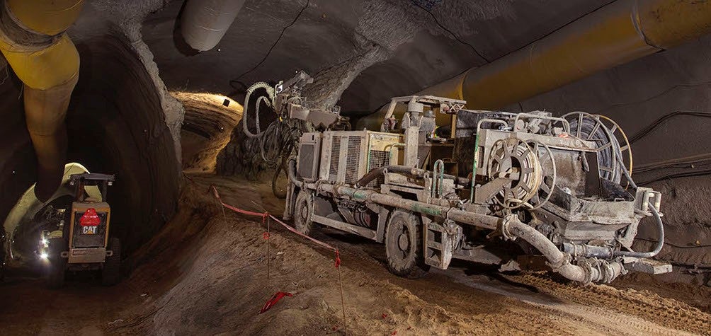
Future of Mining
: Your recommended content
Recommended article
A sneak peek into Canada’s largest transit expansion
Read
Close
Precision medical wire
: Your recommended content
Recommended article
Precision wire for vascular therapy: How EXERA® rises to the challenge
Read
Close
Close
Close
Close