Honeywell Airborne Mission Management
Honeywell’s design centre of excellence for mission systems, based in the UK, has been engaged since the mid-1990s in the development and manufacture of a range of mission products designed to enhance the effectiveness of rotary and fixed-wing special role platforms.
Applications include airborne law enforcement, special forces, surveillance, search and rescue, and executive roles for both military and civil agencies. With a worldwide customer base and global reach for product support, Honeywell is one of the leading providers of cost-effective mission systems.
Products to enhance rotary and fixed-wing special role platform effectiveness
The current product portfolio includes the Observer and Sentinel mission systems, both of which have been EASA ETSO and FAA TSO certificated. Honeywell recognises that to achieve success with the overall platforms you need to be able to offer a fully integrated mission package that has:
- Ergonomics that ensure the crew achieve the mission
- Interfaces with multiple sensor types dependant on role
- High dispatch reliability with proven field performance
- Global support, strong service and warranty programme
Both the Observer and Sentinel offer flexibility based on role and Honeywell continues to invest in improvements to both platforms to reflect changing and developing customer requirements. For Honeywell’s customers this long-term commitment allows them to buy with confidence and be sure that the platforms they have selected will allow them to continue to grow in capability and be globally supported.
Fully-integrated airborne mission systems
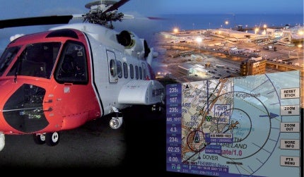
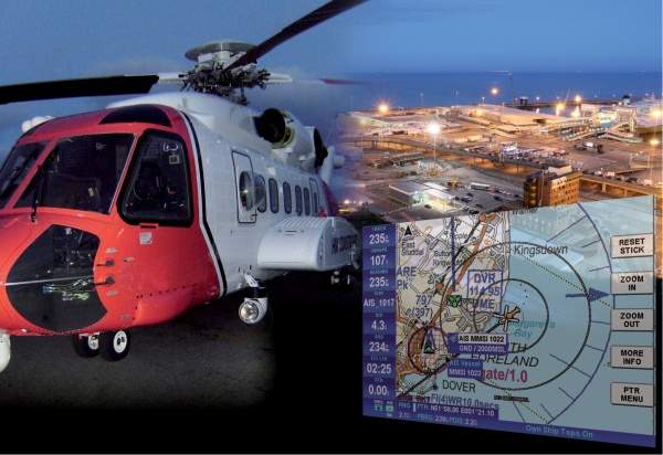
The Observer is a fully integrated multiple workstation mission system designed to be used by the airborne tactical commander and crew to provide maximum spatial awareness via detailed mapping and sensor footprint overlays. Observer’s primary purpose is to support airborne law enforcement, search and rescue, surveillance and border patrol operations.
Features include EO/IR camera control, AIS transponders, DF systems, search radar (target and designation), traffic, flight logs, AIS and SATCOM links, weather and post flight analysis. Observer is a management tool that ensures cost-effective use of expensive airborne resources.
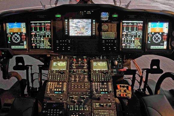
The Observer has been designed as a modular system which can be configured to the operational role of the airborne asset. At its core the system contains a mapping, navigation and sensor integration processor, capable of interfacing to and being controlled by up to seven workstations. The hardware comprises the rack-mounted processing unit which outputs video imagery to allow interfaces with multiple displays distributed around the airborne platform. A cabin DZUS-mounted control panel allows for distributed command and control to each of the workstations plus data upload and download capability.
Mapping options range from aeronautical ICAO format charts with merged vector underlay of Jeppesen® Navdata to a complete suite of mapping down to property and street level with satellite imagery as required. The use of high-quality mapping, digital elevation model (DEM) and camera management plus a smart database search engine allows optimum control of data gathering and the cost-effective deployment of the airborne command, control and communicates process (C3) to ensure mission success.
Pilot-centric mission and navigation centre
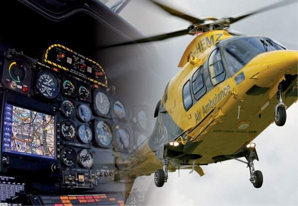
Sentinel has been designed as a pilot-centric flexible mission and navigation centre. It offers maps, terrain, traffic, weather, SATCOM, and AIS interfaces as standard; expansion capability is available for EO/IR cameras and other sensor sources. Applications include executive, medical evacuation, air ambulance, asset monitoring, reconnaissance and border patrol, and special operations deployment.
To enhance spatial awareness, in addition to the conventional plan view mapping of desired and achieved track, it also provides a down track vertical profile window with airspace and terrain features relative to GPS altitude.
Internal GPS for VFP navigation
Sentinel includes an internal global positioning system (GPS) for visual flight rule (VFR) navigation, an integrated flight planning suite that can utilise either its own GPS or a flight management system (FMS), or an instrument flight rules (IFR) navigator. The system supports multiple waypoint types with textural and image attributes assignable properties can also include time and area dependant flags which can be recalled through on-screen interrogation. The associated integral data search engine is error tolerant of textural mistakes, allows for faster and partial text searches and therefore allows rapid target designation.
The system is available in a variety of packages: panel-mounted as a multi-functional display or as a remote (avionics bay) mounted processor with the option to drive a video graphics array (VGA) display either Honeywell furnished or via a third party. Near vertical incidence skywave (NVIS) options are available and the Sentinel can be used as a monitor for and controller of an Observer system, whilst concurrently running as a standalone navigator.
In summary, Sentinel encapsulates the needs of many pilots and operations departments to be able to rapidly task and dispatch their fixed wing or rotary asset to scene in the most cost-effective and safest manner.
Honeywell Images

Products and Services
Video
White Papers
Related Projects
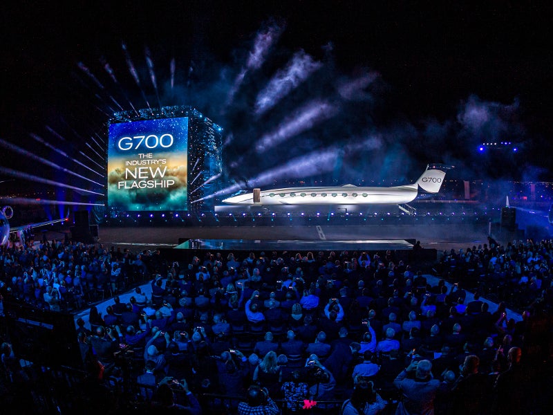
Gulfstream G700 Business Jet

Embraer Praetor 500 Business Jet

737-800 Boeing Converted Freighter (BCF)

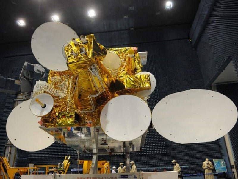
Hispasat 30W-6 Communications Satellite
Alcomsat-1 Communications Satellite
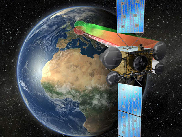
Heinrich Hertz Communications Satellite (H2Sat)

Cessna Citation Hemisphere Business Jet

Marenco Swisshelicopter’s SKYe SH09 Helicopter
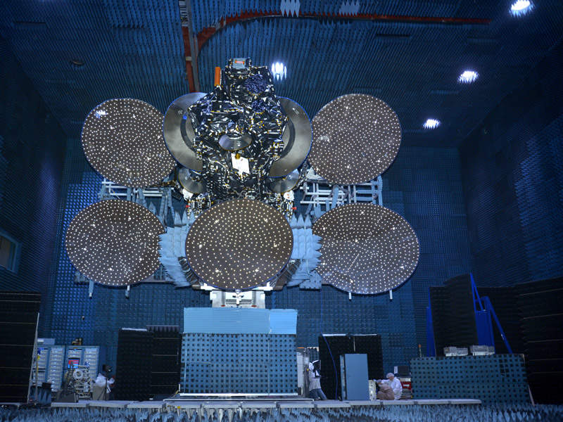
JCSAT-14 Communication Satellite

Bombardier Challenger 350 Business Jet
Press Release
Regional Offices
5 The Old Granary
Boxgrove
Chichester
PO21 0ES
West Sussex
United Kingdom